


भारत का भूगोल : भारत की जलवायु का वर्गीकरण
(Geography of India : Classification of India's Climate)
भारत की जलवायु 'मानसूनी' है। जलवायु की दशाओं में समरूपता जलवायु के कारकों के संयुक्त प्रभाव से उत्पन्न होती हैं। वर्षा और तापमान जलवायु के दो महत्वपूर्ण कारक है। इन्हें जलवायु वर्गीकरण की पद्धतियों में निर्णायक कहा जाता है। जलवायु वर्गीकरण की कई पद्धतियाँ हैं। इन पद्धतियों में से 'कोपेन' का जलवायु वर्गीकरण प्रमुख है। इन्होंने जलवायु वर्गीकरण के लिए वर्षा और तापमान को मुख्य आधार बनाया था।
The climate of India is 'monsoon' . Symmetries in climatic conditions arise from the combined effect of climatic factors. Rainfall and temperature are two important factors of climate. These are said to be decisive in the methods of climate classification. There are several methods of climate classification. Climate classification of 'Köppen' is prominent among these systems. They made rainfall and temperature the mainstay for climate classification.
भारत की जलवायु को प्रभावित करने वाले प्रमुख कारक
(Major factors affecting India's climate)
स्थिति एवं उच्चावच से संबंधित कारक (Factors related to condition and relief) :
समुद्र तट से दूरी :– भारत के विस्तृत तटीय प्रदेशों में समकारी जलवायु पाई जाती है, क्योंकि भारत की तटीय रेखा लंबी है। इसके विपरीत भारत के आंतरिक भाग समुद्र के समकारी प्रभाव से वंचित रह जाते हैं। इन स्थानों पर विषमकारी जलवायु पाई जाती है।
Distance from the coastline: - Equal climate is found in the wide coastal regions of India, because the coastline of India is long. In contrast, the interior of India is deprived of the equalization effect of the sea. Heterogeneous climate is found at these places.
समुद्र तल से ऊँचाई :– समुद्र तल से ऊँचाई बढ़ने के साथ तापमान में कमी आती जाती है। पर्वतीय प्रदेश मैदानों की तुलना में अधिक ठंडे होते हैं, क्योंकि यहां की वायु विरल है। शीत ऋतु में भारत के आगरा का तापमान 16° सेल्सियस एवं दार्जिलिंग का तापमान 4° सेल्सियस होता है, जबकि दोनों ही स्थान एक ही अक्षांश पर स्थित हैं। फिर भी दोनों के तापमान में बहुत अंतर है।
Altitude above sea level: - Temperature decreases with increasing altitude above sea level. The mountainous regions are colder than the plains, as the air here is sparse. The temperature of Agra in India is 16 ° C and Darjeeling has a temperature of 4 ° C , while both locations are located at the same latitude. Yet there is a great difference in temperature between the two.
स्थल तथा जल का वितरण – भारत का भू भाग 3 ओर से सागरों से घिरा हुआ है और इसके उत्तर दिशा में पर्वत श्रेणियाँ हैं। जल देर से गर्म व देर से ठंडा होता है, जबकि स्थल शीघ्रता से गर्म एवं शीघ्रता से ठंडा हो जाता है। स्थल एवं जल के इस विभेदी तापन के कारणवश भारत के उपमहाद्वीप में विभिन्न ऋतुओं में भिन्न-भिन्न वायुदाब प्रदेश विकसित होते हैं। यह वायुदाब प्रदेश मानसूनी पवनों के उत्क्रमण के कारण बनते हैं।
Location and distribution of water - The land of India is surrounded by seas on 3 sides and has mountain ranges on its north side. The water is hot late and cools late, while the site is quickly heated and quickly cooled. Due to this differential heating of land and water, different air pressure regions develop in different seasons in the subcontinent of India. These winds form due to reversal of monsoon winds.
अक्षांश – कर्क रेखा से उत्तर दिशा में भारत का उत्तरी भाग शीतोष्ण कटिबंध में और दक्षिणी भाग उष्ण कटिबंध में आता है। भूमध्य रेखा के समीप होने से उष्ण कटिबंध में पूरे वर्ष ऊँचे तापमान और कम दैनिक एवं वार्षिक तापांतर होता है। भारत के उत्तरी भागों में भूमध्य रेखा से दूरी होने से उच्च दैनिक और वार्षिक तापांतर के साथ विषम जलवायु होती है।
Latitude - The northern part of India falls in the temperate zone and the southern part in the tropical zone, north of the Tropic of Cancer. Being near the equator, the tropical region experiences high temperatures throughout the year and low daily and annual temperatures. The northern parts of India have a heterogeneous climate with high diurnal and annual temperatures due to distance from the equator.
हिमालय पर्वत की अवस्थिति – हिमालय पर्वत अपने विस्तार तथा ऊंचाई के कारण एक प्रभावी जलवायु विभाजक है। यह पर्वत श्रंखला भारत के उपमहाद्वीप की साइबेरिया से आने वाली ठंडी हवाओं से रक्षा करता है। इसके अतिरिक्त यह मानसूनी भवनों को रोककर वर्षा का कारण भी बनता है।
Location of Himalayan Mountains - The Himalayan Mountains are an effective climate divider due to their extent and elevation. This mountain range protects the subcontinent of India from the cold winds coming from Siberia. In addition, it also causes rain by stopping the monsoon buildings.
उच्चावच – भारत के उच्चावच और भौतिक स्वरूप में पर्याप्त भिन्नता है। यह वायुदाब, तापमान, पवनों की गति, दिशा और ढाल की मात्रा एवं वितरण को प्रभावित करता है।
Religion - There is a substantial variation in the relief and physical appearance of India. It affects the air pressure, temperature, the speed of the winds, the direction and the volume and distribution of the gradient.
पवनों तथा वायुदाब से जुड़े हुए कारक (Factors related to wind and air pressure) :-
1. भूमंडलीय मौसम को नियंत्रित करने वाले कारकों तथा विभिन्न वायुसंहतियों और जेट प्रवाह के अंतर्वाह से उत्पन्न ऊपरी वायु संचरण।
Factors governing global weather and upper air circulation resulting from the inflow of various airborne and jet flows.
2. पवनों और वायुदाब का धरातल पर वितरण
(Surface distribution of winds and air pressure)।
3. शीतकाल में पश्चिमी विक्षोभों और दक्षिण - पश्चिम मानसून काल में उष्णकटिबंधीय अवदावों के भारत में अंतर्वहन से उत्पन्न वर्षा की अनुकूल दशाएँ।
Favorable conditions for precipitation produced in India by western disturbances in winter and tropical subsidence in the southwest monsoon period.
RF competition
INFOSRF.COM
संबंधित जानकारी नीचे देखें।
(Watch related information below) 👇🏻

आशा है, उपरोक्त जानकारी उपयोगी एवं महत्वपूर्ण होगी।
(I hope the above information will be useful and important. )
Thank you.
लेखक
(Writer)
infosrf.com
पाठकों की टिप्पणियाॅं (0)
You may also like
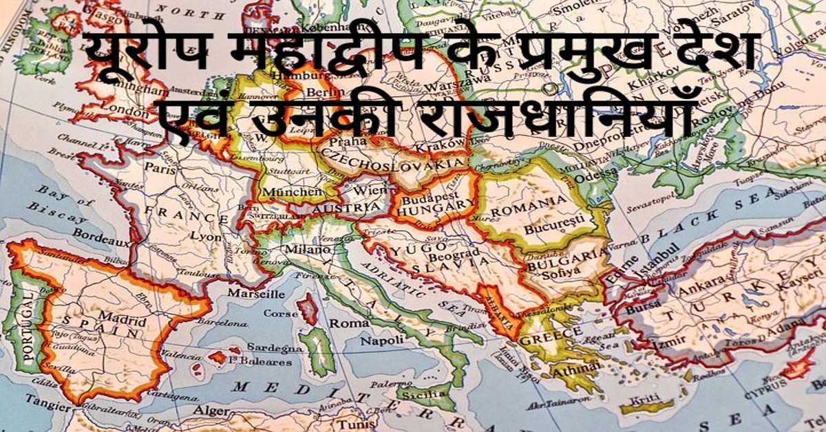
यूरोप महाद्वीप के प्रमुख देश एवं उनकी राजधानियाँ | Europe's Main Countries And Their Capitals
यहाँ यूरोप महाद्वीप के प्रमुख देश एवं उनकी राजधानियाँ दी गई हैं। Europe's Main Countries And Their Capitals given here.
Read more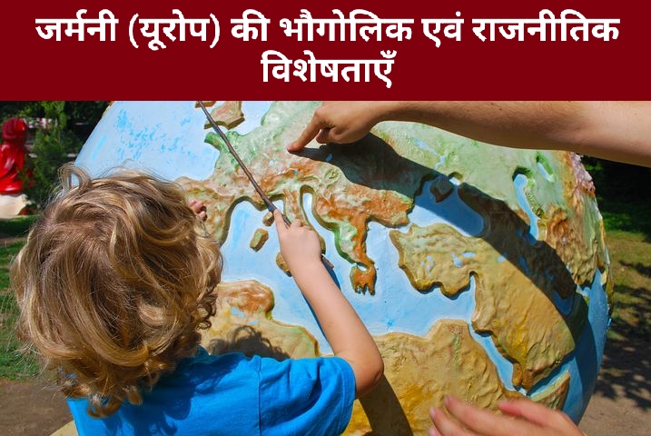
जर्मनी (यूरोप) की भौगोलिक एवं राजनीतिक विशेषताएँ | Geographical And Political Features Of Germany (Europe)
जर्मनी यूरोप महाद्वीप के महत्वपूर्ण देशों में से एक है। इसके उत्तर-पश्चिम में उत्तर सागर स्थित है। जर्मनी के उत्तर-पूर्व में बाल्टिक सागर स्थित है।
Read more.jpg)
फ्रांस (यूरोप) की भौगोलिक एवं राजनीतिक विशेषताएँ | Geographical And Political Features Of France (Europe)
फ्रांस क्षेत्रफल की दृष्टि से यूरोप महाद्वीप का दूसरा सबसे बड़ा देश है। यूरोप महाद्वीप का सबसे बड़ा देश रूस है।
Read more