
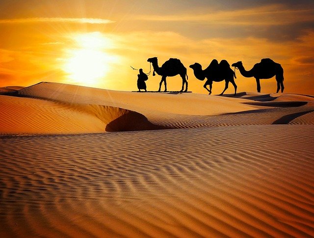


भारत का भूगोल : भारतीय मरूस्थल Geography of India: Indian Desert
मरुस्थल ऐसा क्षेत्र होता है, जहाँ वार्षिक वर्षा 25 सेंटीमीटर या उससे भी कम मात्रा में होती है। यह मरुस्थलीय क्षेत्र हमारे 'भारत' में भी स्थित है। यह मरुस्थल भारत में अरावली पर्वतों के उत्तर-पश्चिम तथा पश्चिमी किनारों पर 'बालू के टिब्बों' से ढका हुआ है। इसे हम 'थार का मरुस्थल' के नाम से जानते हैं। यह एक तरंगित मरुस्थलीय मैदान है। थार के मरुस्थल का अधिकांश भाग 'राजस्थान' में स्थित है। इसके अलावा कुछ भाग गुजरात, हरियाणा तथा पंजाब में भी है। विश्व के समस्त मरुस्थलीय क्षेत्र में सर्वाधिक जन घनत्व हमारे थार के मरुस्थल में ही है।
Desert is an area where annual rainfall is 25 cm or less. This desert region is also located in our 'India' . This desert is covered with 'sand dunes' on the northwest and west sides of the Aravalli mountains in India. We know it by the name of 'Thar Desert' . It is a undulating desert plain. Most of the Thar Desert is located in 'Rajasthan' . Apart from this, some parts are also in Gujarat, Haryana and Punjab . The highest mass density in the entire desert region of the world is in the desert of our Thar.
ढाल के आधार पर थार के मरुस्थल को दो भागों में बाँट सकते हैं :
Depending on the slope, you can divide the Thar Desert into two parts:
1. उत्तरी भाग – इसका ढाल पाकिस्तान के सिंध प्रांत की ओर है।
2. दक्षिणी भाग – इसका डाल कच्छ के रन की ओर है।
1. Northern part - Its slope is towards the Sindh province of Pakistan.
2. Southern part - It is on the run towards Kutch.
कच्छ के रन को ''सफेद मरुस्थल' के नाम से भी जाना जाता है। यह क्षेत्र 'नमकीन दलदल' से बना हुआ है। तथा यह हजारों वर्ग किलोमीटर के क्षेत्रों तक फैला हुआ है। इस मरुस्थलीय क्षेत्र की अधिकांश नदियों में केवल वर्षा के ही मौसम में जल उपलब्ध होता है। अन्य मौसमों में यहाँ के नदियाँ सूख जाती हैं। अधिकांश नदियाँ अन्तः स्थलीय प्रवाह प्रतिरूप का उदाहरण है। इस मरुस्थलीय क्षेत्र की प्रमुख नदी 'लूनी' है। मरुस्थलीय क्षेत्र की भूगर्भिक संरचना प्रायद्वीपीय पठार का ही विस्तार है, परंतु यहाँ की धरातलीय स्थलाकृतियाँ भौतिक अपक्षय तथा पवनों द्वारा निर्मित होती हैं। उदाहरण- रेत के टीले, बरखान, छत्रक आदि।
Kutch's run is also known as 'white desert' . The region is made up of 'salty marshes' . And it is spread over thousands of square kilometers. Most of the rivers in this desert region have water only during the rainy season. The rivers here dry up in other seasons. Most of the rivers are examples of inland flow models. The main river of this desert region is 'Luni' . The geological structure of the desert region is an extension of the peninsular plateau, but the terrestrial topography here is formed by physical weathering and winds. Examples- Sand dunes, Barkhan, Chhatrak etc.
RF competition
INFOSRF.COM
संबंधित जानकारी नीचे देखें।
(Watch related information below) 👇🏻

आशा है, उपरोक्त जानकारी उपयोगी एवं महत्वपूर्ण होगी।
(I hope the above information will be useful and important. )
Thank you.
लेखक
(Writer)
infosrf.com
पाठकों की टिप्पणियाॅं (1)
You may also like
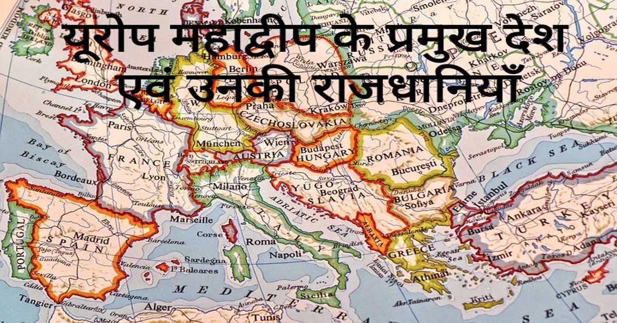
यूरोप महाद्वीप के प्रमुख देश एवं उनकी राजधानियाँ | Europe's Main Countries And Their Capitals
यहाँ यूरोप महाद्वीप के प्रमुख देश एवं उनकी राजधानियाँ दी गई हैं। Europe's Main Countries And Their Capitals given here.
Read more
जर्मनी (यूरोप) की भौगोलिक एवं राजनीतिक विशेषताएँ | Geographical And Political Features Of Germany (Europe)
जर्मनी यूरोप महाद्वीप के महत्वपूर्ण देशों में से एक है। इसके उत्तर-पश्चिम में उत्तर सागर स्थित है। जर्मनी के उत्तर-पूर्व में बाल्टिक सागर स्थित है।
Read more.jpg)
फ्रांस (यूरोप) की भौगोलिक एवं राजनीतिक विशेषताएँ | Geographical And Political Features Of France (Europe)
फ्रांस क्षेत्रफल की दृष्टि से यूरोप महाद्वीप का दूसरा सबसे बड़ा देश है। यूरोप महाद्वीप का सबसे बड़ा देश रूस है।
Read more


(Teacher)
Posted on October 07, 2021 03:10AM from ,
Best