


भारत का भूगोल : प्रायद्वीपीय भारत की नदियों का अपवाह तंत्र
Geography of India: Drainage system of rivers of peninsular India.
प्रायद्वीपीय भारत का पश्चिमी घाट एक प्रमुख 'जल विभाजक' है। यह घाट अरब सागर तथा बंगाल की खाड़ी में गिरने वाली नदियों को विभाजित करता है। भारत के प्रायद्वीपीय पठार का सामान्य ढाल पूर्व तथा दक्षिण पूर्व की ओर है। अतः प्रायद्वीपीय भारत की अधिकांश नदियाँ पश्चिमी घाट से निकलती हैं तथा अंत में बंगाल की खाड़ी में गिरती है। ये नदियाँ डेल्टा भी बनाती है। प्रायद्वीपीय भारत की दो नदियाँ अपवाद हैं। ये हैं: नर्मदा और ताप्ती। यह दोनों बंगाल की खाड़ी में ना गिरकर अरब सागर में विसर्जित हो जाती हैं। इसका कारण यह है कि ये दोनों नदियाँ 'भ्रंश घाटी' से होकर बहती है तथा 'डेल्टा' के स्थान पर 'ज्वारनदमुख' का निर्माण करती हैं। नर्मदा और ताप्ती नदी घाटियों को 'पुरानी रिफ्ट घाटी' कहा जाता है। प्रायद्वीपीय भारत की द्रोणियाँ आकार में छोटी हैं। हिमालय के अपवाह तंत्र की अपेक्षा प्रायद्वीप का अपवाह तंत्र अधिक पुराना है। दक्षिण भारत में नदियाँ मुख्यतः वृक्ष आकार के अपवाह तंत्र का निर्माण करती है।
The Western Ghats of peninsular India is a major 'water divider' . This ghat divides the rivers falling in the Arabian Sea and the Bay of Bengal. The normal slope of the peninsular plateau of India is towards the east and south east. Hence, most of the rivers of peninsular India originate from the Western Ghats and eventually fall into the Bay of Bengal. These rivers also form deltas. Two rivers of peninsular India are the exception. These are: Narmada and Tapti . Both of them do not fall into the Bay of Bengal and immerse themselves in the Arabian Sea . The reason for this is that both these rivers flow through the 'rift valley' and replace the 'delta' forming the 'estuarine' . Huh. The Narmada and Tapti river valleys are called the 'Old Rift Valley' . The basins of peninsular India are small in size. The drainage system of the peninsula is much older than the Himalayan drainage system. The rivers in South India form a predominantly tree-shaped drainage system.
बंगाल की खाड़ी और अरब सागर में गिरने वाली प्रमुख नदियाँ :
1. अरब सागर में गिरने वाली नदियाँ : नर्मदा, ताप्ती, पेरियार, साबरमती, माही, मांडवी, जुआरी इत्यादि।
2. बंगाल की खाड़ी में गिरने वाली नदियाँ : गोदावरी, कृष्णा, महानदी, कावेरी, स्वर्णरेखा, ब्राह्मणी, वैतरणी इत्यादि।
Bay of Bengal and major rivers falling in Arabian Sea:
1. Rivers falling in the Arabian Sea: Narmada, Tapti, Periyar, Sabarmati, Mahi, Mandvi, Zuari etc.
2. Rivers falling in the Bay of Bengal: Godavari, Krishna, Mahanadi, Kaveri, Swarnarekha, Brahmani, Vaitarani etc.
नर्मदा नदी : नर्मदा नदी का उदगम मध्य प्रदेश में 'अमरकंटक' की एक पहाड़ी से हुआ है। उद्गम के पश्चात यह नदी उत्तर में विंध्य पर्वत एवं दक्षिण में सतपुड़ा पर्वत के मध्य भ्रंश घाटी का निर्माण करते हुए आगे बढ़ती है, तथा अरब सागर में खंभात की खाड़ी में गिरती है। इस नदी की प्रमुख परियोजना 'सरदार सरोवर परियोजना' है। नर्मदा नदी जबलपुर के निकट भेड़ाघाट की संगमरमर दलों को काटकर 'धुआंधार जलप्रपात' बनाती है। नर्मदा नदी की प्रमुख सहायक नदियाँ ओरसंग, तवा, बंजर, शेर आदि हैं। नर्मदा नदी की लंबाई 1,312 किलोमीटर है।
Narmada River: The Narmada River originates from a hill in 'Amarkantak' in Madhya Pradesh. After the origin, the river rises between the Vindhya Mountains in the north and Satpura Mountains in the south, forming a rift valley, and falls in the Gulf of Khambhat in the Arabian Sea. . The major project of this river is 'Sardar Sarovar Project' . The Narmada River cuts the marble teams at Bhedaghat near Jabalpur to form the 'Dhuandhar Falls' . The major tributaries of Narmada River are Orsang, Tawa, Banjar, Sher etc. The Narmada River has a length of 1,312 km .
ताप्ती नदी : इस नदी का उदगम मध्य प्रदेश के बैतूल जिले में सतपुड़ा की पहाड़ियों से 'मुलताई' नामक स्थान पर हुआ है। यह भ्रंश घाटी का निर्माण करती है, तथा अंत में अरब सागर के खंभात की खाड़ी में गिरती है। इस नदी की द्रोणी मध्य प्रदेश गुजरात और महाराष्ट्र राज्य में है। यह नदी की कुल द्रोणी का 80% भाग है। इसकी प्रमुख सहायक नदियाँ गिरना तथा अरूणावती हैं। ताप्ती नदी की कुल लंबाई 7,24 किलोमीटर है।
Tapti River: This river originated in a place called 'Multai' from the hills of Satpura in Betul district of Madhya Pradesh. is. It forms a rift valley, and eventually falls into the Gulf of Cambay in the Arabian Sea. The basin of this river is in the states of Madhya Pradesh, Gujarat and Maharashtra. It forms 80% of the total basin of the river. Its major tributaries are fall and Arunavati . The total length of the Tapti River is 7,24 km .
गोदावरी नदी : गोदावरी नदी का उद्गम महाराष्ट्र के नासिक जिले के 'त्र्यंबकेश्वर' नामक स्थान से हुआ है। यह प्रायद्वीपीय भारत की सबसे बड़ी नदी है। इसका अपवाह तंत्र सबसे बड़ा है। इसकी प्रमुख सहायक नदियाँ वर्धा, पूर्णा, मंजरा, वेनगंगा, पेनगंगा, प्राणहिता, सबरी, इंद्रावती आदि है। इसे 'दक्षिण भारत की गंगा' के नाम से भी जाना जाता है, क्योंकि इसका आकार एवं विस्तार बहुत बड़ा है। इसकी द्रोणी का 50% भाग महाराष्ट्र में है, तथा शेष भाग मध्य प्रदेश, छत्तीसगढ़ उड़ीसा, आंध्रप्रदेश, कर्नाटक तथा तेलंगाना में है। इस नदी की कुल लंबाई 1,465 किलोमीटर है।
Godavari River: The Godavari River originates from a place called 'Trimbakeshwar' in Nashik district of Maharashtra. It is the largest river of peninsular India. Its drainage system is the largest. Its major tributaries are Wardha, Poorna, Manjara, Venganga, Penganga, Pranahita, Sabari, Indravati etc. It is also known as 'Ganges of South India' , because its size and extent is very large. 50% of its basin is in Maharashtra, and the rest in Madhya Pradesh, Chhattisgarh, Odisha, Andhra Pradesh, Karnataka and Telangana. The total length of this river is 1,465 km .
कृष्णा नदी : इस नदी का उद्गम महाराष्ट्र के पश्चिमी घाट में 'महाबलेश्वर' के पास हुआ है। महाराष्ट्र के पश्चिमी घाट को 'सह्याद्रि' भी कहा जाता है। कृष्णा नदी प्रायद्वीपीय भारत की दूसरी सबसे बड़ी नदी है। तुंगभद्रा, कोयना, मालप्रभा, घाटप्रभा, भीमा, मुसी आदि कृष्णा की प्रमुख सहायक नदी तुंगभद्रा है। तुंगभद्रा की प्रमुख सहायक नदी हगरी है। कृष्णा नदी के अपवाह क्षेत्र का 44% भाग कर्नाटक में है, तथा शेष भाग महाराष्ट्र, आंध्र प्रदेश तथा तेलंगाना में है। कृष्णा नदी गोदावरी नदी से मिलकर आंध्र प्रदेश में भारत का दूसरा सबसे दूसरे सबसे बड़े डेल्टा का निर्माण करती है। कृष्णा नदी जल विवाद महाराष्ट्र, आंध्र प्रदेश तथा कर्नाटक के मध्य है। कृष्णा नदी की कुल लंबाई 1,401 किलोमीटर है।
Krishna River: This river originated near 'Mahabaleshwar' in the Western Ghats of Maharashtra. The Western Ghats of Maharashtra are also known as 'Sahyadri' . The Krishna River is the second largest river in peninsular India. Tungabhadra, Koyna, Malprabha, Ghatprabha, Bhima, Musi etc. The major tributary of Krishna is Tungabhadra . The major tributary of Tungabhadra is Hagar. 44% of the Krishna River runoff area is in Karnataka, and the remaining part is in Maharashtra, Andhra Pradesh and Telangana. The Krishna River joins the Godavari River to form India's second-second largest delta in Andhra Pradesh. The Krishna River water dispute is between Maharashtra, Andhra Pradesh and Karnataka. The total length of the Krishna River is 1,401 km . महानदी :
महानदी छत्तीसगढ़ के धमतरी जिले में 'सिहावा पहाड़ी' के पास से निकलती है। इसके बाद यह नदी ओडिशा में बहती हुई पारा द्वीप के पास बंगाल की खाड़ी में विसर्जित हो जाती है। महानदी की प्रमुख सहायक नदियाँ शिवनाथ, मांड, ईब, ओंग, जोंग तथा तेल आदि है। हीराकुंड, टिकरपारा बाँध का निर्माण महानदी पर हुआ है। महानदी द्रोणी का अपवाह महाराष्ट्र, मध्य प्रदेश, छत्तीसगढ़, झारखंड और उड़ीसा में है। इसकी कुल लंबाई 8,51 किलोमीटर है।
Mahanadi: Mahanadi originates from 'Sihawa hill' in Dhamtari district of Chhattisgarh. The river then flows into Odisha and is immersed in the Bay of Bengal near the island of Para. The major tributaries of Mahanadi are Shivnath, Mand, Eb, Ong, Jong and Tel etc. Hirakud, Tikarpara Dam is built on the Mahanadi. The Mahanadi basin is drained in Maharashtra, Madhya Pradesh, Chhattisgarh, Jharkhand and Orissa. Its total length is 8,51 km .
कावेरी नदी : कावेरी नदी कर्नाटक के कोडागु जिले की 'ब्रह्मगिरि पहाड़ियों' से निकलती है। इसे 'दक्षिण की गंगा' कहा जाता है। उत्तरी घाट में दक्षिण पश्चिम मानसून और निचले घाट में उत्तर-पूर्वी मानसून द्वारा वर्षा जल की उपलब्धता के कारण ही यह एक 'सदानीरा' नदी है। इस कारण यह प्रायद्वीपीय नदियों में एक अपवाद भी है। यह नदी 'शिवसमुद्रम' नामक जलप्रपात का निर्माण करती है। आयतन की दृष्टि से यह जलप्रपात भारत का सबसे बड़ा जलप्रपात है। इस नदी द्रोणी का 56% भाग तमिलनाडु और पुडुचेरी में है, तथा कर्नाटक में 41% भाग है। केरल में केवल 3% भाग ही है। कावेरी नदी की प्रमुख सहायक नदियाँ लोकापावनी, हेमावती, शिमसा हेरांगी, अर्कावती, लक्ष्मणतीर्थ, सुवर्णवती, भवानी, अमरावती आदि हैं। यह नदी तीन बार दो धाराओं में बट जाती है, और कुछ मील आगे जाकर पुनः मिल जाती है। या नदी श्रीरंगपट्टनम्, शिवसमुद्रम् तथा श्रीरंगम् द्वीपों को बनाती है। इस नदी की कुल लंबाई 8,00 किलोमीटर है।
Kaveri River: The Kaveri River originates from the 'Brahmagiri Hills' of Kodagu district in Karnataka. It is called 'Ganges of the South' . It is a 'Sadanira' river due to the availability of rainwater by the southwest monsoon in the northern ghats and the north-eastern monsoon in the lower ghats. For this reason it is also an exception in peninsular rivers. This river forms a waterfall called 'Shivasamudram' . This waterfall is the largest waterfall in India in terms of volume. 56% of this river basin is in Tamil Nadu and Puducherry, and 41% in Karnataka. Kerala has only 3% share. The major tributaries of the Kaveri River are Lokapavani, Hemavati, Shimsa Herangi, Arkavati, Lakshmanatirtha, Suvarnavati, Bhavani, Amravati etc. This river is divided into two streams three times, and rejoins a few miles further. Or the river forms Srirangapatna, Sivasamudram and Srirangam islands. The total length of this river is 8,00 km .
RF competition
INFOSRF.COM
संबंधित जानकारी नीचे देखें।
(Watch related information below) 👇🏻

आशा है, उपरोक्त जानकारी उपयोगी एवं महत्वपूर्ण होगी।
(I hope the above information will be useful and important. )
Thank you.
लेखक
(Writer)
infosrf.com
पाठकों की टिप्पणियाॅं (0)
You may also like
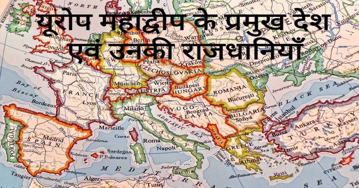
यूरोप महाद्वीप के प्रमुख देश एवं उनकी राजधानियाँ | Europe's Main Countries And Their Capitals
यहाँ यूरोप महाद्वीप के प्रमुख देश एवं उनकी राजधानियाँ दी गई हैं। Europe's Main Countries And Their Capitals given here.
Read more
जर्मनी (यूरोप) की भौगोलिक एवं राजनीतिक विशेषताएँ | Geographical And Political Features Of Germany (Europe)
जर्मनी यूरोप महाद्वीप के महत्वपूर्ण देशों में से एक है। इसके उत्तर-पश्चिम में उत्तर सागर स्थित है। जर्मनी के उत्तर-पूर्व में बाल्टिक सागर स्थित है।
Read more.jpg)
फ्रांस (यूरोप) की भौगोलिक एवं राजनीतिक विशेषताएँ | Geographical And Political Features Of France (Europe)
फ्रांस क्षेत्रफल की दृष्टि से यूरोप महाद्वीप का दूसरा सबसे बड़ा देश है। यूरोप महाद्वीप का सबसे बड़ा देश रूस है।
Read more